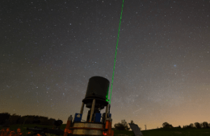
Determination of a high-precision gravity field model for the FCC region and improvement of the Geodetic Reference Frames and the Geodetic Infrastructure (FCC Geodesy)
For the FCC, an evolution (or even a new design) of the geodetic reference systems and geodetic infrastructure already established for the current CERN site will be required in order to cope with the demanding challenges of this large new infrastructure. This does not only include a significant improvement of the gravity field models but also a revision of the geodetic reference systems, frames and datum definitions, along with the selection of an appropriate cartographic map projection and a reconsideration of the various geodetic facilities and infrastructure components at CERN that support the realization of these reference frames.
This R&D project has two major objectives:
- Determination of a high-precision gravity field model for the FCC region
- Improvement of the Geodetic Reference Frames and the Geodetic Infrastructure
