Determination of a high-precision gravity field model for the FCC region and improvement of the Geodetic Reference Frames and the Geodetic Infrastructure
Host institutionETHZ
Principal InvestigatorProf. Markus Rothacher
ProgrammeCHART 2021–2024
Publications1
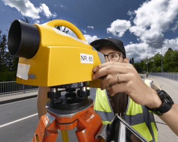
The FCC calls for an evolution, or even a new design, of the geodetic reference systems and geodetic infrastructure already established for the current CERN site, to cope with the demands of a far larger facility. That means not only a significantly improved gravity field model, but also a revision of the geodetic reference systems, frames and datum definitions, the selection of an appropriate cartographic map projection, and a reconsideration of the geodetic facilities and infrastructure at CERN that realise those frames. The project pursues two objectives: determining a high-precision gravity field model for the FCC region, and improving the geodetic reference frames and the geodetic infrastructure.

 Prof. Markus RothacherPrincipal InvestigatorETH Zurich
 Prof. Dr Andreas WieserDeputy PIETH Zurich